A system used to take, organize and analyze geographical information.
Main Features of ArcGIS Desktop
Data Management: ArcGIS Desktop provides many tools for managing and organizing data, from creating and editing datasets to geocoding address information. It also allows users to access spatial databases, download data from various sources, and perform geoprocessing operations.
Map Visualization: Through the ArcGIS Desktop interface, users can easily visualize their data on a map. This feature allows users to create and share maps and 3D scenes, as well as customize the appearance of their maps by adding symbols, labels, or graphics.
Advanced Analysis: ArcGIS Desktop provides a number of tools for analyzing spatial data in order to draw conclusions or make predictions from the data. It includes tools for performing spatial analysis, carrying out calculations on feature attributes, and generating statistics from the data.
Automation: ArcGIS Desktop has a powerful automation environment that lets users make scripts or models that can be used to quickly do complex tasks like geoprocessing, batch processing, and analyzing large datasets.
Sharing: ArcGIS Desktop makes it easy to share data, maps, and analysis results with other users using its online sharing capabilities. It also provides tools for creating dynamic web mapping services, which can be used to share maps on the web or within an organization’s network.
| 📱App Type |
Geographic Information System |
| ⚙️Main Function |
Extracting, storing, and organizing all types of geographical data |
| ✅Top Feature |
Data management |
| 🌎Available Regions |
Worldwide |
Swipe for More
Benefits and Downsides of Using ArcGIS Desktop
ArcGIS Desktop is a powerful GIS application that provides users with the tools they need to effectively manage, visualize, and analyze their data. However, as with any software program, there are both benefits and downsides to using ArcGIS Desktop. In this section, we will explore the advantages and disadvantages of using ArcGIS Desktop.
Benefits
- ArcGIS Desktop is an easy to use and powerful application that provides a wide range of tools for data management, map visualization, analysis, and automation.
- It is available in multiple languages, making it accessible to users around the world.
- The sharing capabilities of ArcGIS Desktop enable users to share data, maps, and analysis results with other users.
- It provides users with a comprehensive set of tools for creating dynamic web mapping services that can be used to share maps on the web or within an organization’s network.
Downsides
- ArcGIS Desktop is a powerful application and can be challenging to learn for those without a technical background.
- The cost of the concurrent use license can be prohibitively expensive for some organizations.
- The online sharing capabilities require users to have an ArcGIS Online account, which can add to the overall cost of using the software.
- ArcGIS Desktop is only available for the Windows operating system, so users with other systems will not be able to use it.
Top Alternatives of ArcGIS Desktop
ArcGIS Desktop is a powerful GIS software, however, there are many alternatives available to suit different needs. Here are some of them:
QGIS
QGIS is an open-source GIS software package with a wide range of useful features for data management, map visualization, analysis, and automation. It also has support for a variety of different formats and can be used with both Windows and Mac operating systems.
ESRI ArcGIS Pro
ArcGIS Pro is a powerful and user-friendly GIS mapping application from ESRI, designed for professionals. It provides users with a comprehensive set of tools for data management, map visualization, analysis, sharing, and automation.
GRASS GIS
GRASS GIS is another open source GIS software package with a wide range of features for data management, map visualization, analysis, and automation. It also has support for a variety of different formats and is available on multiple platforms, including Windows, Mac OS X, and Linux.
MapInfo Professional
MapInfo Professional from Pitney Bowes is a powerful GIS application designed for professionals who need powerful data management, analysis, mapping and exploration capabilities. It provides users with a comprehensive set of tools for creating powerful maps and applications in 2D and 3D. It also has support for a wide range of formats.
These are some of the top alternatives to ArcGIS Desktop that can help you get the most out of your GIS data. Each of these software packages has its own unique features and capabilities, so you should consider which one will best suit your needs before making a decision.
No matter which GIS solution you choose, however, make sure it meets your needs and provides the tools to effectively manage, visualize, analyze, and share your data.
How to Use ArcGIS Desktop
Installation:
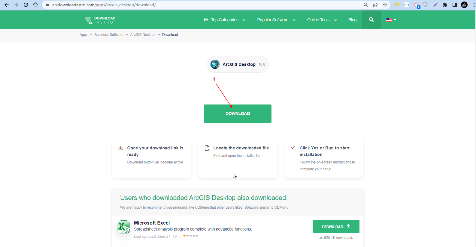
- Go to DownloadAstro and look for ArcGIS Desktop. Once you’ve found it, click “Download” on the green button.
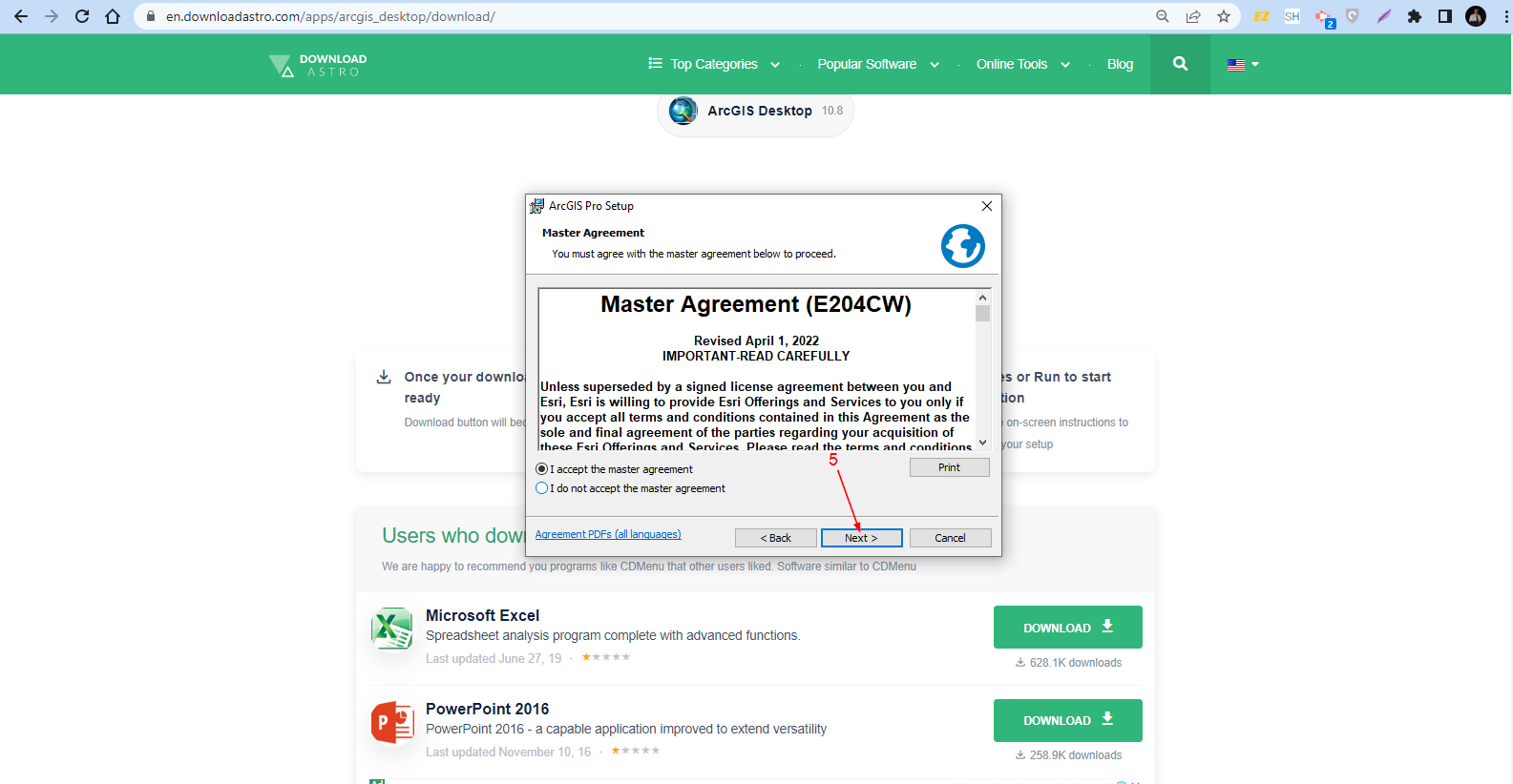
- You will be shown the Master Agreement pop-up. In this part, simply accept the agreement and then click “Next.”
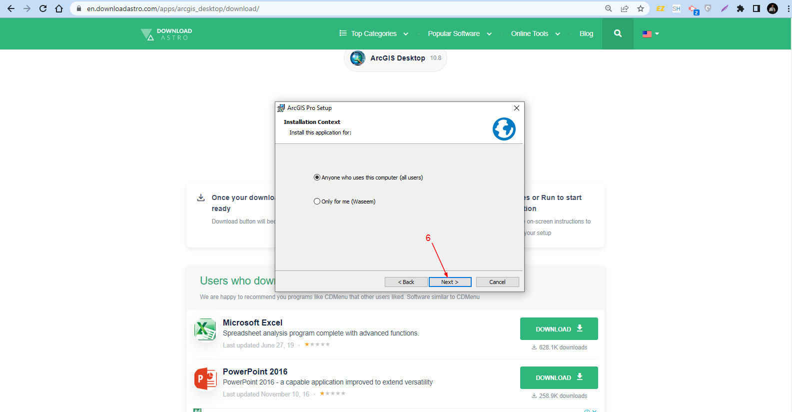
- Then you will be asked about the Installation Context. So, simply select the first option and then hit the “Next” button.
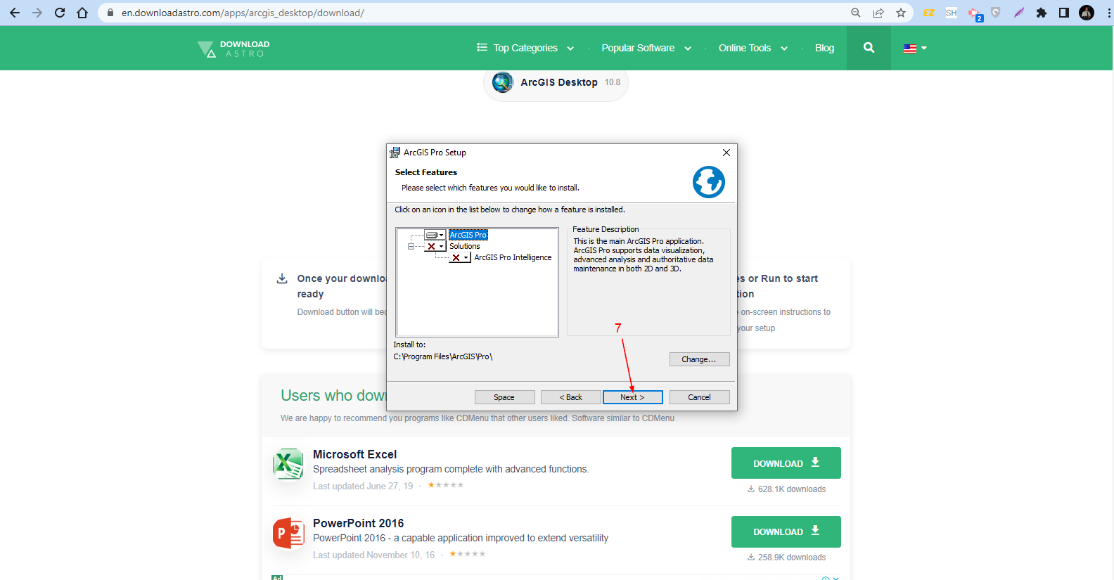
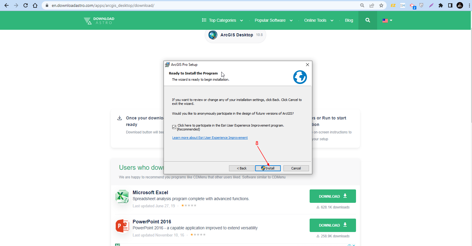
- The program is now ready to install. Click “Install.”
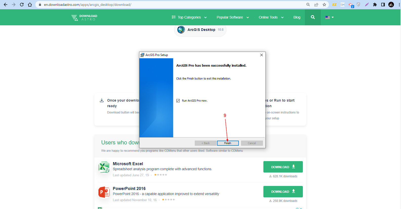
- Now that the program has been successfully installed in your computer, click “Finish” and start using it.